Rappaport Applied Field Lab Students Make the Case to Create a Public Transportation Hub Using Virtual Reality
When Proposing Redevelopment Ideas for an Abandoned 95-Acre Parcel, Seeing is Believing.
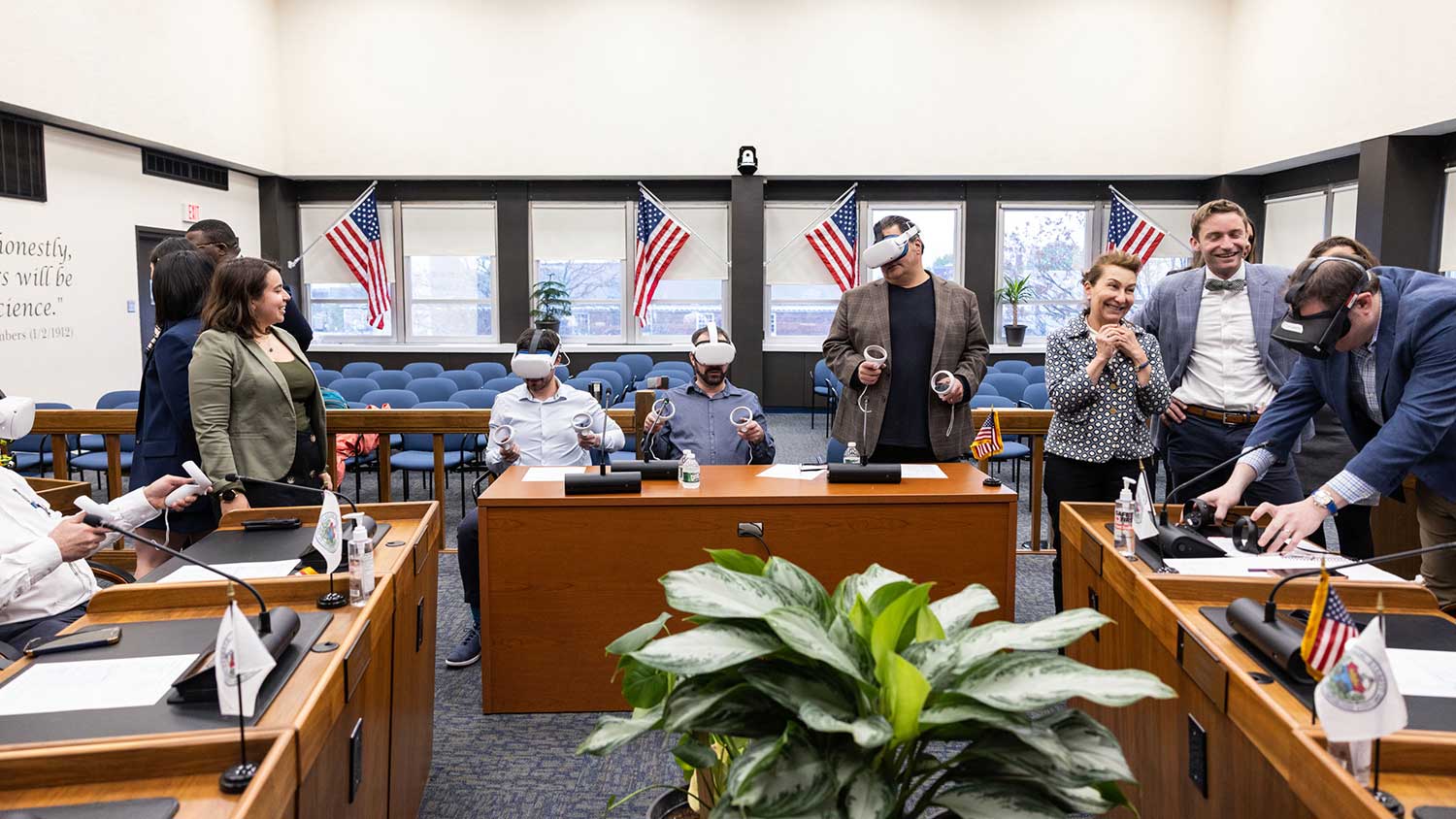
“I’ve been doing urban planning studies for more than 15 years at HKS, over 100 projects,” said Linda Bilmes, speaking of the field labs that give her students the opportunity to analyze real-world issues and offer solutions. “Using virtual reality headsets took the experience one step further, allowing city planners to actually see themselves coming out of buildings, interacting with the area.
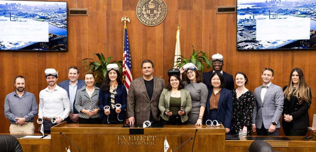
Bilmes, the Daniel Patrick Moynihan Senior Lecturer in Public Policy, was reflecting on the innovative technique used by her students with Everett, Massachusetts, Mayor Carlo DeMaria and his staff in their final presentation for MLD-412: “Greater Boston Applied Field Lab: Advanced Budgeting, Financial Management and Operations.” Projects for the lab typically focus on finance-related urban challenges and are funded through the Rappaport Institute for Greater Boston and the Bloomberg Harvard City Leadership Initiative. The Everett project centered on a large, abandoned piece of property located in a lower-income part of town contaminated with residue from a fossil fuel facility.
Using virtual reality to demonstrate the possibilities for the land was a forward-thinking approach, one that gave city planners a better understanding of how to move forward.
The unused 95-acre parcel is privately owned by an oil company. In 2021 it became available for sale for development. The parcel was almost sold before investors discovered the land contamination was worse than they previously thought. “Everett has the problem of land contaminated through the operation of the current owner,” Bilmes explained. “Now they’re facing a larger, more complex problem of how to redevelop and reclaim this land.”
Since Everett city planners saw potential in this area, they connected with Bilmes and her students. “We were introduced to HKS through Joe Curtatone,” said Jay Monty, director of transportation and mobility for the city of Everett. Curtatone MC/MPA 2011 was the former mayor of Somerville, Massachusetts, and is now the president of the Northeast Clean Energy Council as well as a senior fellow with the Bloomberg Center for Cities at Harvard. He and Bilmes have worked together on many field labs.
“The unique thing about this site is it’s a blank slate in many ways,” Monty said. “We have the opportunity to hopefully do things right.”
Mayor DeMaria has long had a vision for a grand renewal of this part of Everett, starting with the development of the Encore Casino and public waterfront on a similarly abandoned and contaminated site nearby. “Our city motto is ‘Pride, Progress, and Possibilities.’ The 95-acre site is our largest opportunity to envision what is possible in Everett, a place that is accessible to all as well as culturally and economically vibrant.”
Bilmes’ field lab identified a variety of recommendations showing how the space could be reused. This included brownfield remediation programs to reduce barriers for site cleanup; new development ideas for research facilities, business, housing, and even recreation. But the team also identified another missing piece in the Everett landscape: public rail and subway lines.
Located just over 4 miles outside of Boston, Everett, with a population of 48,500, is not on the Massachusetts Bay Transportation Authority’s (MBTA) commuter rail or subway line. It had subway service once but that was eliminated in 1975 when the MBTA rerouted the service to the west. “Unlike our neighbors, Everett didn’t have the political clout or community organizing needed to keep that vital rail link in Everett,” Monty said.
The students—Zoe Iacovino MPA 2023, Femi Olamijulo MPP 2023, Mengyao Li, Monserrat Ocana MPP 2024 and Nicole Cacozza MPP 2023—reviewed a variety of transit options. They researched transit uses, both commercial and residential. They looked at demand, trip frequency, commuting destinations. And then they created a very elaborate set of 3D designs to show how much of a difference a transportation hub would make to the area, and what it would mean in terms of development for the city and for jobs.
“I think the students did a great job piecing together human needs into an urban fabric. They did a great job at quantifying the infrastructure needs, the transportation needs to make that possible to get folks in and out, to identifying the partial sizes and understanding what type of building is feasible economically, and then what investors needed to support that,” Monty said. “They were a really well-rounded team who did historical research looking at other case study cities, doing modeling of transportation and infrastructure, and then doing design.”
Using virtual reality headsets to envision the plan was Olamijulo’s idea. “Professor Bilmes really encouraged us to explore and push the boundaries of what was known and see what other resources are available to us school-wide,” he said. That led him to Harvard’s Innovation Lab. There he discovered VR headsets one could borrow, and the instructions on how to map a presentation to them. Teammates Cacozza and Iacovino were immediately on board. “There is so much technology available out there,” said Cacozza. “Much of it is going unused, especially in the policy application.”
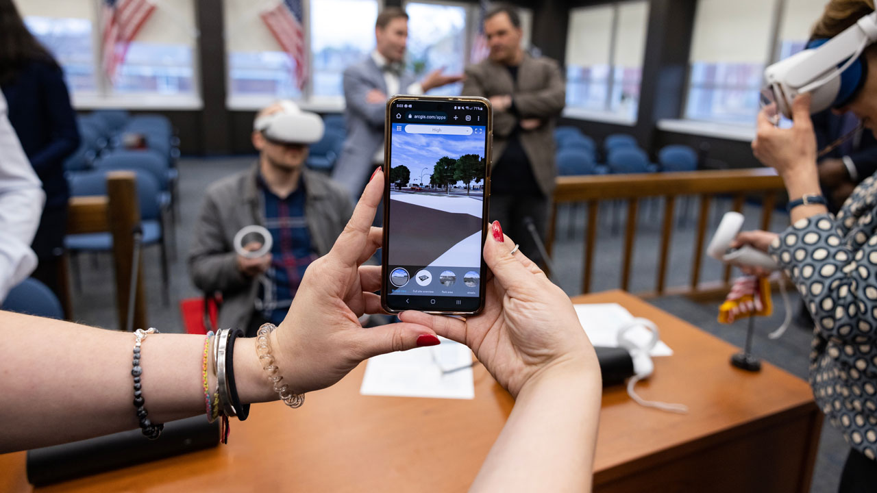
“We had a 3D model of our proposal, and our main thesis was what you see in the 3D model is not possible without that transportation infrastructure,” Iacovino said. “When you look at the current site in Everett, it’s hard to imagine what that space could actually be, and why transportation is so important. So the opportunity to visualize what it could be and why it requires certain policy implementations was just a really great way to use this technology.”
Bringing a model to life required more than technology, as Olamijulo found. “A lot of thought went into the visioning process,” he said. “It’s one thing to see development ideas in a map or in a drawing, but it’s another thing to put a headset on and look up and see the height of buildings and look down and see the scale at which we’re trying to develop that property. We put a lot of detail into that work, like parking meters, bus routes, parking spaces, even traffic lights.”
“I was blown away,” Monty said. “It really helped us see potential in this space. When you start with these types of projects there’s often a two-dimensional map. Or maybe you’re lucky to get to look at a static rendering. But I think for folks to step inside the 3D virtual reality world, it opens up people’s idea of what’s possible.”
Almost as important, said Monty, it helps to change the narrative many towns face with crumbling industrial sites: “It starts to chip away at this bias that this area is sort of written off. Being able to put people inside of what it could be is a very powerful tool.”
For the students, it elevated their learning experience. “There are times when professors will talk about the real world as this thing that doesn’t exist in HKS; it’s elsewhere,” said Cacozza. “This was an opportunity to take what we’re learning in our policy degrees, in our administrative or planning degrees, and really see where the rubber meets the road. I didn’t know anything about Everett coming in, I’m not from Massachusetts, so I was coming to it very new, and I was really excited about the transportation and transit connections proposed by this.
“I think we all grew professionally after this course; we were able to create a professional-level product,” said Cacozza.
Monty is optimistic about the parcel’s development as there is significant interest now in the site, one of the last remaining big parcels of land in an urban corridor. “One thing we found that is really helpful is creating this vision before the sale happens and showing that to prospective buyers. That sends a very compelling message to a buyer that we’re willing to work with them and willing to entertain different uses.”
Bilmes echoes the optimism. “They have a good location in Everett, with a lot of land, but they know that it’s not going to happen without the transit,” she said. “So, part of this was designed to help the city show how different transit models can benefit development for this parcel. Our students presented these models not only to the city, but to Lieutenant Governor Kim Driscoll.”
“I was delighted to meet with Professor Bilmes and her graduate students to learn more about their semester-long research project analyzing the impacts of transportation infrastructure in Everett,” Driscoll said. “It is clear that this hands-on research opportunity in collaboration with city and state officials has helped identify key findings and a vision for environmental justice communities like Everett. I applaud their work and look forward to learn more about how their work can impact our Commonwealth for the better.”


